

Mie Bosai Navi
In the prefecture’s official disaster prevention app, “Mie Bosai Navi,” you can see the location of nearby evacuation shelters on a map.
You can also check disaster information released by Mie Prefecture.
This time, 3 new functions have been added to the app (December 9, 2025).
- Voice navigation function to shelters/evacuation points
You can use Google Maps with voice guidance to reach the nearest shelter.
- Function to view images from road surveillance cameras
You can view camera images from 163 points within Mie Prefecture.
- Button to call the “Disaster Message Hotline 171”
The Disaster Message Hotline 171 is a “voicemail box” that can be used when, after a disaster, communications to the affected area increase and it becomes difficult to complete calls. A button has been added to make a call to 171.
For more details and to download “Mie Bosai Navi”, see here (MieInfo).
Bosaimie.jp
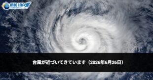
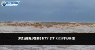
On bosaimie.jp, you can see information about disasters such as heavy rains, typhoons, earthquakes, and tsunamis. (Acesse: https://www.bosaimie.jp/)
Mie Prefecture Multilingual Disaster Support Center
When a major earthquake or tsunami occurs, they translate and disseminate necessary information. You can also consult and ask for help if you have problems during a disaster. (Site: http://mief.or.jp/wp/tagengo/)
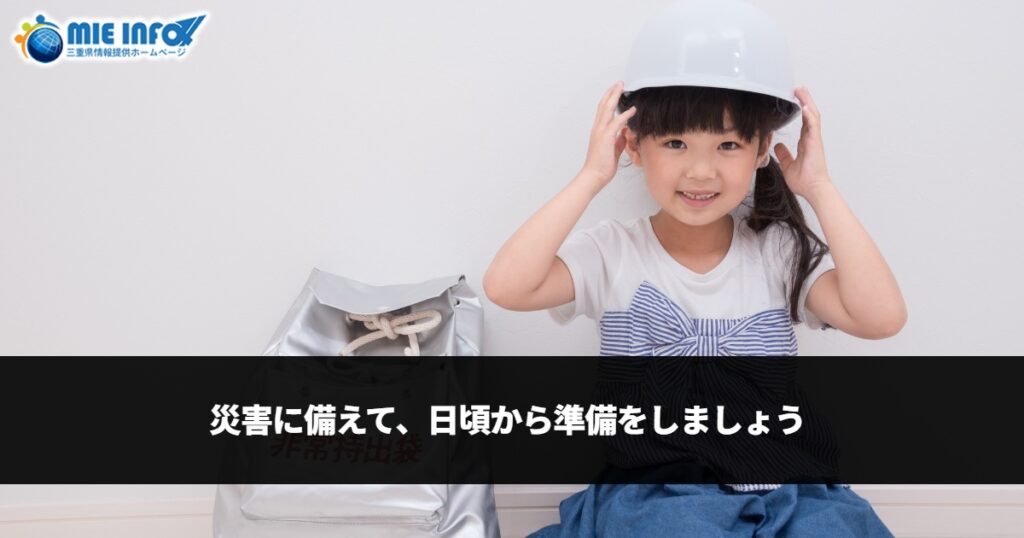
Disasters can happen at any time.
To protect lives and daily life, let’s prepare now.